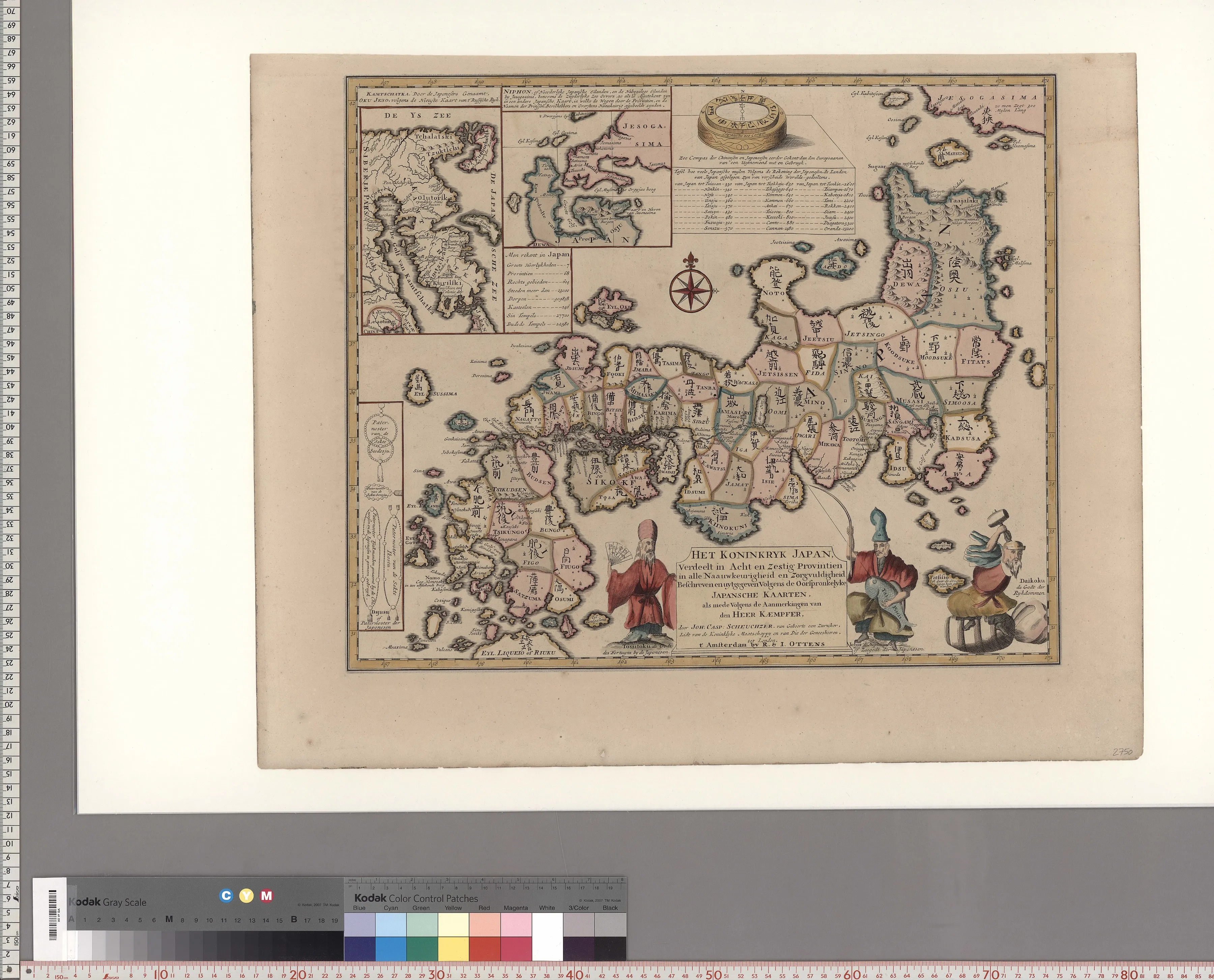
1735 · Hand-coloured engraved map
Het koninkryk Japan
Engelbert Kaempfer and Johann Caspar Scheuchzer
Why it matters
The map announces that it combines original Japanese maps with Kaempfer's observations. Its visual certainty therefore records a chain of translation, copying, and publication rather than an unmediated European survey.
- Publication
- Published by R. and I. Ottens, Amsterdam
- Holding institution
- International Research Center for Japanese Studies (Nichibunken)
- Shelfmark
- YG/19/GB641/Ka; database identifier 005428255
Citation
Kaempfer, Engelbert, and Johann Caspar Scheuchzer. Het koninkryk Japan. Amsterdam: R. and I. Ottens, 1735. International Research Center for Japanese Studies, YG/19/GB641/Ka.