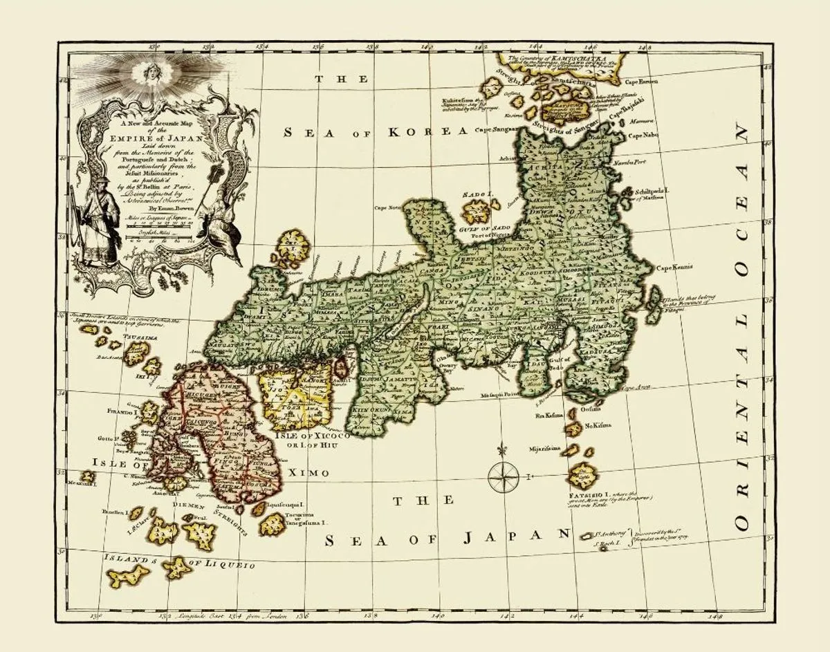
1752 · Engraved map
An Accurate Map of Japan
Emanuel Bowen
Why it matters
Bowen's map presents Japan as remote yet increasingly chartable. The dense labels and confident coastline translated partial European knowledge into the visual authority of an atlas.
- Publication
- A Complete Atlas, or Distinct View of the Known World
- Holding institution
- Wikimedia Commons source record
- Shelfmark
- File: Antique map of Japan, 1752.jpg
Citation
Bowen, Emanuel. An Accurate Map of Japan. 1752. Public-domain reproduction via Wikimedia Commons.
