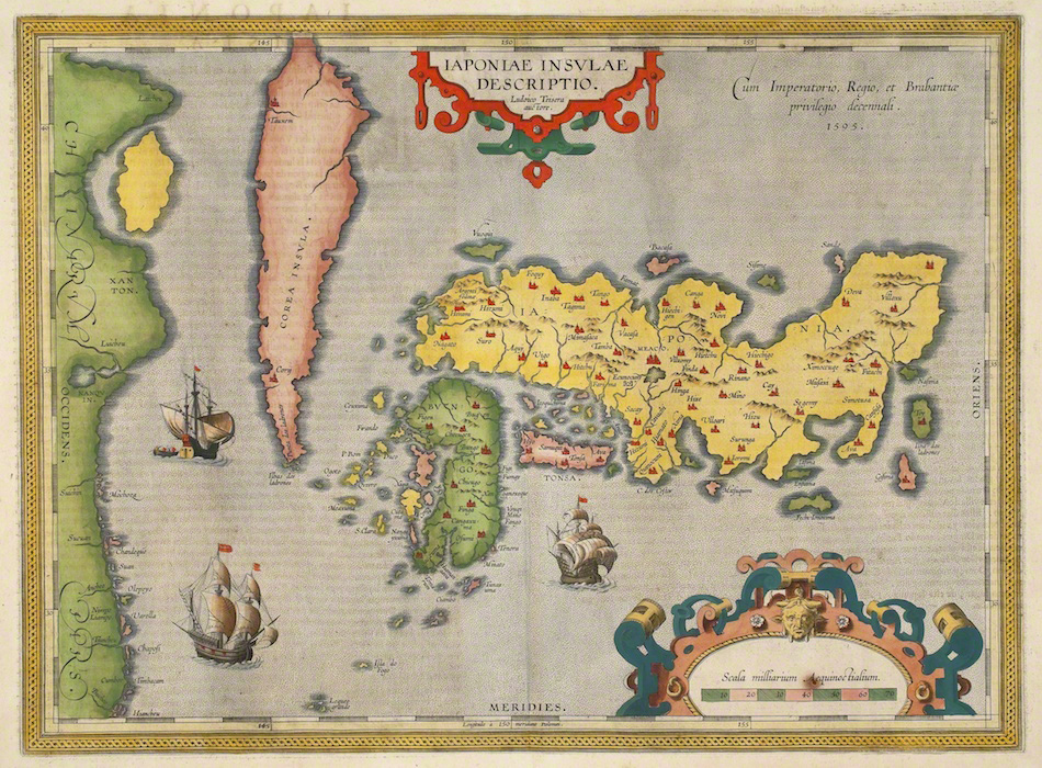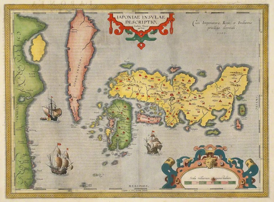
1602 edition; map first issued 1595 · Hand-coloured copper engraving
The First Map of Japan in the Atlas
Edited by Abraham Ortelius; drawn by Luís Teixeira
Why it matters
Teixeira's map made Japan a standalone, densely named object in a European atlas. Its greater detail records real information exchange while its distortions expose the composite character of that knowledge.
- Publication
- Theatrum Orbis Terrarum
- Holding institution
- Tokyo Fuji Art Museum
- Shelfmark
- 01593
Citation
Ortelius, Abraham, ed., and Luís Teixeira. The First Map of Japan in the Atlas. Antwerp, 1602 edition; first issued 1595. Tokyo Fuji Art Museum, 01593.