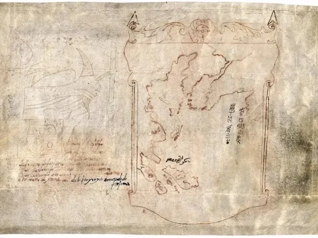
catalogued as [129-?]; authenticity undetermined · Pen-and-ink manuscript map on vellum
Map of the Far East and adjacent Pacific, known as Map with Ship
Attributed to Marco Polo in the catalogue record; attribution unverified
Why it matters
The record is useful precisely because it resists certainty. The Library of Congress lists unverified provenance and undetermined authenticity, so the object demonstrates how archives can preserve an attribution while warning readers not to treat it as established fact.
- Publication
- Map with Ship
- Holding institution
- Library of Congress, Geography and Map Division
- Shelfmark
- G7800 .M3
Citation
[Map of the Far East and adjacent Pacific], known as Map with Ship. Catalogued as [129-?], attribution and authenticity undetermined. Library of Congress, Geography and Map Division, G7800 .M3.