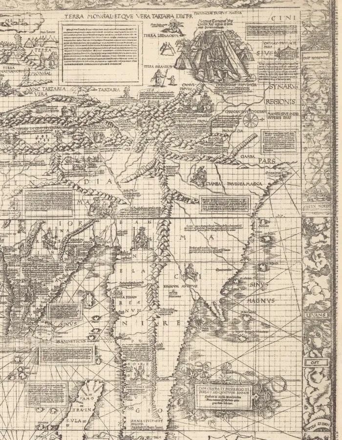
1516 map; later reproduction · Woodcut world map, later facsimile
East Asia in the Carta marina
Martin Waldseemüller; reproduction associated with Albert Kammerer
Why it matters
The 1516 composition gave greater weight to maritime routes, coastal reports, and recent navigation. It shows new information accumulating around older geographic names rather than replacing them all at once.
- Publication
- Carta marina navigatoria
- Holding institution
- Bibliothèque nationale de France, Département des Cartes et plans
- Shelfmark
- GE D-8808
Citation
Waldseemüller, Martin. Carta marina navigatoria, East Asia detail. 1516; later facsimile associated with Albert Kammerer. BnF, GE D-8808.